Sarajevo siege — 1,425 days, and how to read the marks it left on the city
The longest siege in modern European history: 5 April 1992 to 29 February 1996. Around 11,500 killed, half a million shells fired. A short factual overview, then the places in central Sarajevo where the siege is still visible today.
The Siege of Sarajevo was the longest siege of a capital city in modern European history. It began on 5 April 1992 and formally ended on 29 February 1996, a total of 1,425 days, or three years and eleven months. This piece is a short factual overview of what happened, followed by the places in central Sarajevo where the siege is still visible today.

What happened, in one paragraph
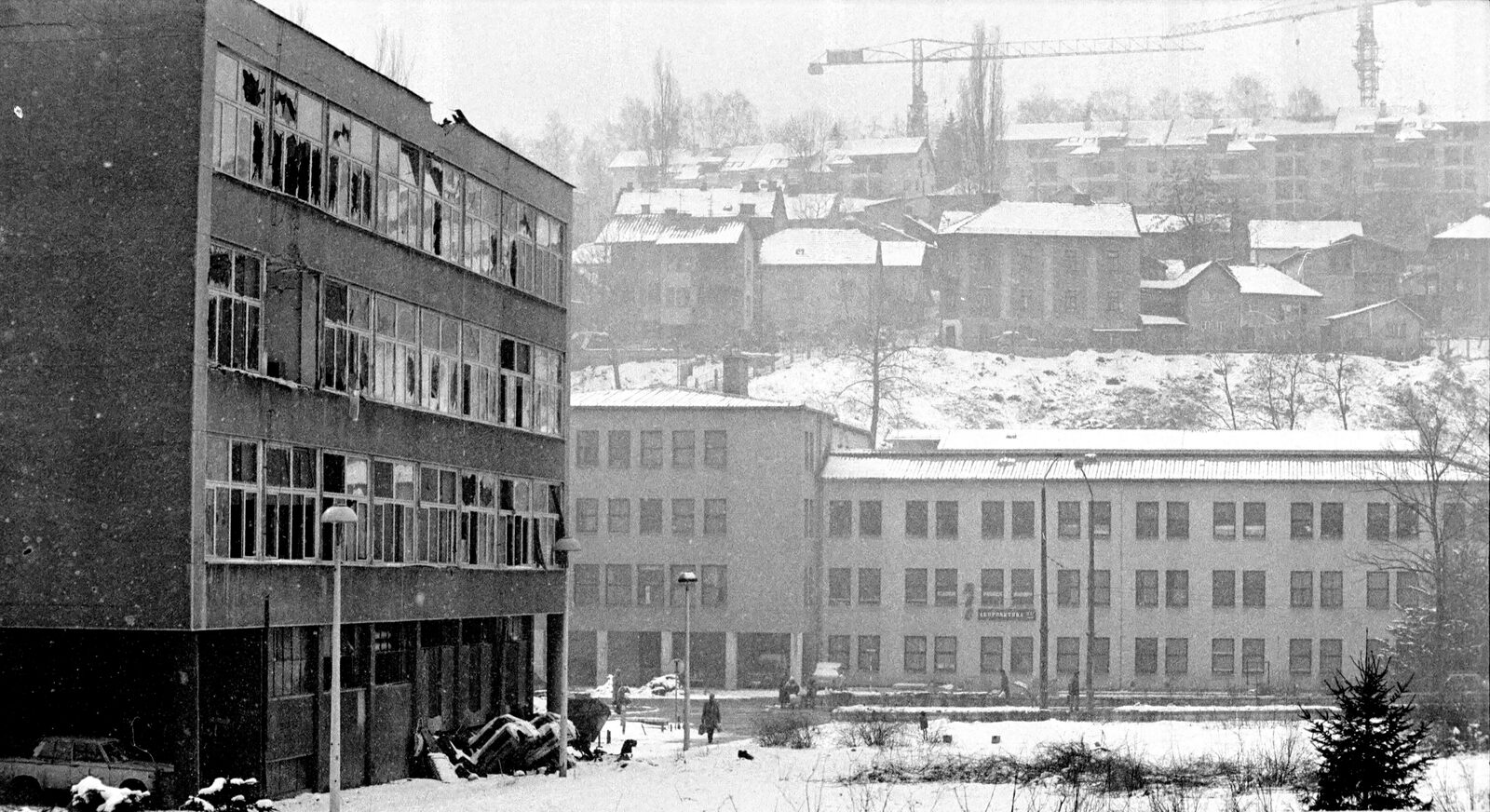
In the weeks after Bosnia and Herzegovina declared independence in early 1992, Bosnian Serb political and military forces, led by Radovan Karadžić politically and Ratko Mladić militarily, supported by the Yugoslav People’s Army (JNA), surrounded Sarajevo. The city sits in a long east–west valley closed by mountains, and the Serb forces took the ridges: Trebević to the south, Igman and Jahorina to the south-west, and the Vratnik-Grbavica ridge to the east. From those positions they held the city under artillery and sniper fire for 1,425 days. Roughly 11,500 people were killed, including around 1,600 children. Around 56,000 were wounded. The siege was documented in detail by international war correspondents throughout, and later prosecuted at the International Criminal Tribunal for the former Yugoslavia (ICTY), Karadžić and Mladić were both convicted of war crimes including the siege.
The numbers
- Start: 5 April 1992 (peace demonstrations dispersed by sniper fire from the Holiday Inn; two women shot dead on the Vrbanja bridge — the first casualties).
- End: 29 February 1996 (formal government declaration of the end of the siege, after the December 1995 Dayton Accord).
- Duration: 1,425 days.
- Population under siege: roughly 380,000 civilians at the start; roughly 350,000 at the end (about 130,000 people had fled through the Tunnel of Hope or over Mount Igman).
- Shells fired at the city: estimated 329 per day on average, with peaks of over 3,700 in a single day (22 July 1993).
- Killed: 11,541 (per the ICTY record) — 5,434 civilians, 6,107 combatants defending the city. Children killed: 1,601.
- Wounded: approximately 56,000.
- Buildings damaged or destroyed: roughly 35,000 out of the city’s estimated 100,000 structures.
The key dates within the siege
- 5 April 1992: Siege begins with mass shelling and the Vrbanja Bridge shootings.
- 25–26 August 1992: Vijećnica burns. Incendiary shells set the National Library on fire; two million books destroyed.
- February 1994: First Markale market massacre; 68 killed by a single mortar shell in the central open-air market.
- 28 August 1995: Second Markale market massacre; 43 killed. This attack triggered NATO’s Operation Deliberate Force air campaign against Bosnian Serb positions.
- 11 July 1995: Not in Sarajevo, but the Srebrenica genocide begins 100 km east. 8,372 Bosniak men and boys killed over the following days.
- 14 December 1995: Dayton Peace Agreement signed in Paris, formally ending the war.
- 29 February 1996: Bosnian government declares the siege officially over.
Where the siege is still visible in central Sarajevo
Thirty years on, the marks are still on the working surface of the city, deliberately kept, not curated away. This is where you can see them.
The Sarajevo Roses
Coordinates: scattered throughout central Sarajevo. Red-resin marks in the pavement where mortar shells killed civilians. Look down at Markale market, on Ferhadija, at the intersection near the Sacred Heart Cathedral, and along Zmaja od Bosne. There are around 200 originally documented; roughly 50 remain visible today (many have been paved over during street repairs). Each Rose marks a spot where at least three people died. See our full piece for the map and the individual stories.
Vijećnica (the burned library)
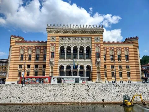
Coordinates: 43.8592° N, 18.4333° E. The striped Habsburg-Moorish city hall on the Miljacka was hit by incendiary shells on the night of 25–26 August 1992. It held the National and University Library at the time, about two million books. Most of the collection was destroyed. Librarians and volunteers went in under fire to save what they could; one of them, Aida Buturović, was killed by a sniper outside the building carrying books out. See our Aida Buturović piece. The building was restored to museum-quality condition and reopened as the city’s ceremonial hall on 17 July 2014. A small stone plaque at the entrance names the crime. See our Vijećnica destination page.
The Tunnel of Hope
Coordinates: 43.8194° N, 18.3367° E (in Ilidža, 15 min by taxi or 40 min by tram + walk). A 800-metre tunnel dug by hand under the Sarajevo airport runway between March and July 1993. Food, fuel, ammunition, medicine, and around one million people passed through it during the siege. Twenty-five metres of the original tunnel are preserved as a museum. See our destination page and the longer story about its second life as a smuggling route documented by Helen Orr’s UNC dissertation.
Galerija 11/07/95
Coordinates: 43.8594° N, 18.4257° E (Trg Fra Grge Martića 2). Not about the Sarajevo siege specifically but about the Srebrenica genocide that happened concurrently. Founded 2012 by the photographer Tarik Samarah, who spent seven years documenting the aftermath. See our page and the piece on Samarah. Ninety minutes, essential.
The War Childhood Museum
Coordinates: 43.8597° N, 18.4297° E (Logavina street). Founded 2017 by Jasminko Halilović, Council of Europe Museum Prize 2018 winner. One room, dozens of donated objects, each paired with a one-paragraph testimony from a Sarajevan who was a child during the siege. See our hidden-gem page. One of two rooms in Sarajevo where post-conflict memory is being handled with the most editorial care (the other is Galerija 11/07/95).
The History Museum of Bosnia and Herzegovina
Coordinates: 43.8559° N, 18.4014° E (near the Holiday Inn on Zmaja od Bosne). Modernist 1958 building by Magaš, Šmidihen, and Horvat. Holds the country’s best siege exhibition, Besieged Sarajevo, with a reconstructed siege-era apartment, ID cards issued during the siege, and the “how we survived” testimony that gives the numbers above their human weight. See our page.
The bullet holes in Habsburg facades
Coordinates: everywhere along Ferhadija, Marijin Dvor, and the length of Zmaja od Bosne. The stone and stucco of the Habsburg apartment buildings preserved bullet and shrapnel damage that has never been fully repaired. Some buildings show hundreds of impacts. Once you know what you’re looking at, you cannot stop seeing them. This is the least curated piece of siege evidence in the city, it is not a museum, it is just there.
Sniper Alley
Coordinates: along Zmaja od Bosne (Dragon of Bosnia street), running west from Marijin Dvor to Ilidža. The main west-running boulevard was during the siege the most exposed thoroughfare in the city; Serb snipers on the surrounding ridges killed 225 people on this stretch of road. The concrete barriers Sarajevans built to shelter crossings from sniper fire are gone, but the memorial pavement panels are still there.
Vraca Memorial Park
Coordinates: 43.8435° N, 18.3978° E (south hillside). Bogdan Bogdanović’s 1981 anti-fascist memorial, a Yugoslav-era monument to the WWII partisan resistance, was itself used as a Bosnian Serb artillery position during the 1992–1995 siege, shelling the city from the same hills the monument had originally commemorated. This irony is documented at length in our Vraca piece. The park has been partially restored and is worth 90 minutes if you want the doubled reading of the twentieth century that only this site delivers.
What to do with the history
Read the numbers slowly. 1,425 days is what makes this the longest modern European siege. 329 shells per day average is what daily life sounded like. 11,541 killed is what the ICTY put on the record. 1,601 children among them is what the War Childhood Museum specifically works with.
Then walk the city. The walking tour piece covers the centre; every stop on that route is either a siege site or has one within 200 metres. The Tunnel of Hope is a separate half-day trip out to Ilidža. Combining any two of the above museums with the tunnel gives you a full day of siege-history walking; combining the History Museum, the War Childhood Museum, and Galerija 11/07/95 in that order across two days is the most editorially considered sequence.
And then take a coffee. The siege ended in 1996; Sarajevo is a functioning, safe European capital in 2026 (see our safety piece). The reason to know the history in detail is not to be haunted by it. The city has done that work. The reason is to be able to read the marks that are still on the pavement — the Roses, the bullet holes, the restored library dome — and to know what they are.
The 1,425 days ended thirty years ago. They are still legible on the working surface of the city. If you want to see them, this piece is the map.
Sources & further reading
Keep reading
More from the guide.

Sarajevo Olympics — twelve days on mountains that became the front line eight years later
The 1984 Winter Olympics were held in Sarajevo — twelve days on mountains that eight years later became artillery positions. The bobsled...
Sarajevo — the largest book-burning in history was one night in August 1992
Everyone knows the Nazis burned books. What most people don’t know is that the single largest book-burning in recorded history happened in...

Sarajevo — in 1942, Grabrijan and Neidhardt tried to demolish Baščaršija
In 1942, Dušan Grabrijan and Juraj Neidhardt guest-edited a special issue of the Croatian architectural journal Tehnički Vjesnik titled Sarajevo and Its...